Acres in the Sherwood Heights Area
Neighborhood at a glance
A desert residential area with deep roots
Original construction period
Subdivisions represented
Neighbors
Neighborhood information
What residents ask about most
Background
One of Scottsdale's older residential neighborhoods of its size
The Sherwood Heights Area was originally located in the unincorporated Maricopa County urban area and was annexed by Scottsdale in April 1956. The area was platted between 1954 and 1957, with homes built from the mid-1950s into the early 1970s.
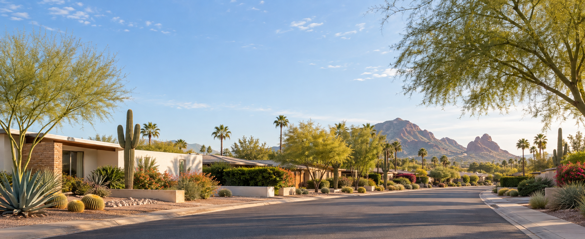
The neighborhood is known for single-story ranch-style homes, large parcels, native desert vegetation, broad streets, alley service access, and views toward Camelback Mountain and Papago Buttes.
Area encompassed
Eight subdivisions between Thomas Road and Oak Street
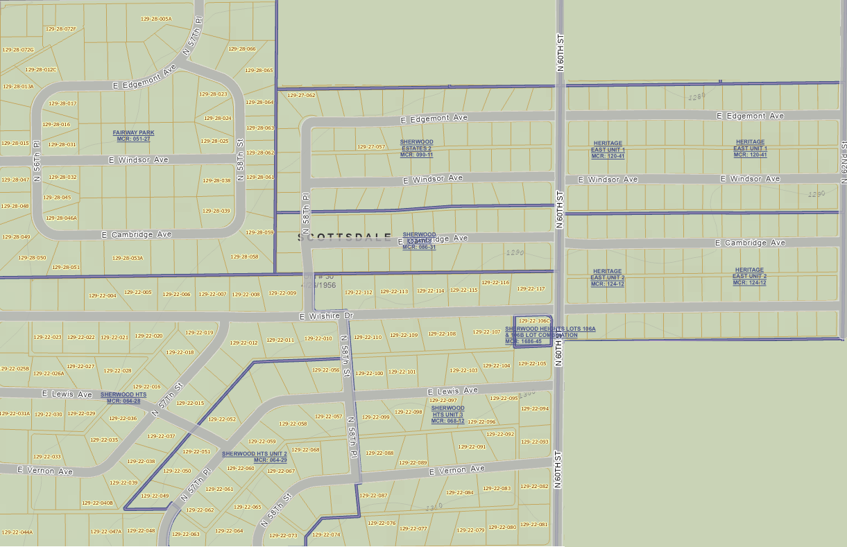
The planning area includes Sherwood Heights I, II, and III; Sherwood Estates I and II; Fairway Park; and Heritage East I and II.
- North: Thomas Road
- South: Oak Street
- West: 56th Street
- East: 62nd Street
Upcoming events and reminders
Current neighborhood notes
Voluntary dues
What dues help support
Neighborhood character
The neighborhood priorities remain practical
Preserve character
Support the desert landscape, view corridors, open spacing, and low-density residential feel.
Calm traffic
Encourage safe travel for walking, biking, driving, and emergency access on neighborhood streets.
Maintain infrastructure
Keep long-term utility, alley, septic, sewer, and communication needs visible to residents.
Resources
Neighborhood
Sherwood Heights Area Neighborhood Plan adopted November 13, 2002.